Best Europe Maps For PowerPoint Slides
When incorporating maps in PowerPoint presentations many people opt for images downloaded from the Internet. The downside of doing so is that you are unable to customize these images to pin point exact locations or to single out parts of a map. There are a few websites which offer some finely crafted presentation templates for this purpose, where you can edit maps directly in PowerPoint. One such website is SlideModel, which has an amazing collection of editable map templates for PowerPoint. Below is a list of some templates with the Best Europe Maps for PowerPoint.
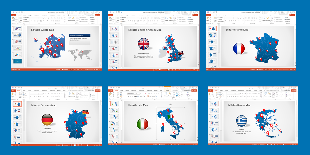
Editable Europe Maps for PowerPoint
This is an editable template with a map of Europe available in editable form. You can drag and drop to single out different countries and recolor them in PowerPoint. The template also comes with GPS markers, an illustration of European airplane routes and various customizable map slides with the map of Europe.
Go to Download Editable Map of Europe for PowerPoint
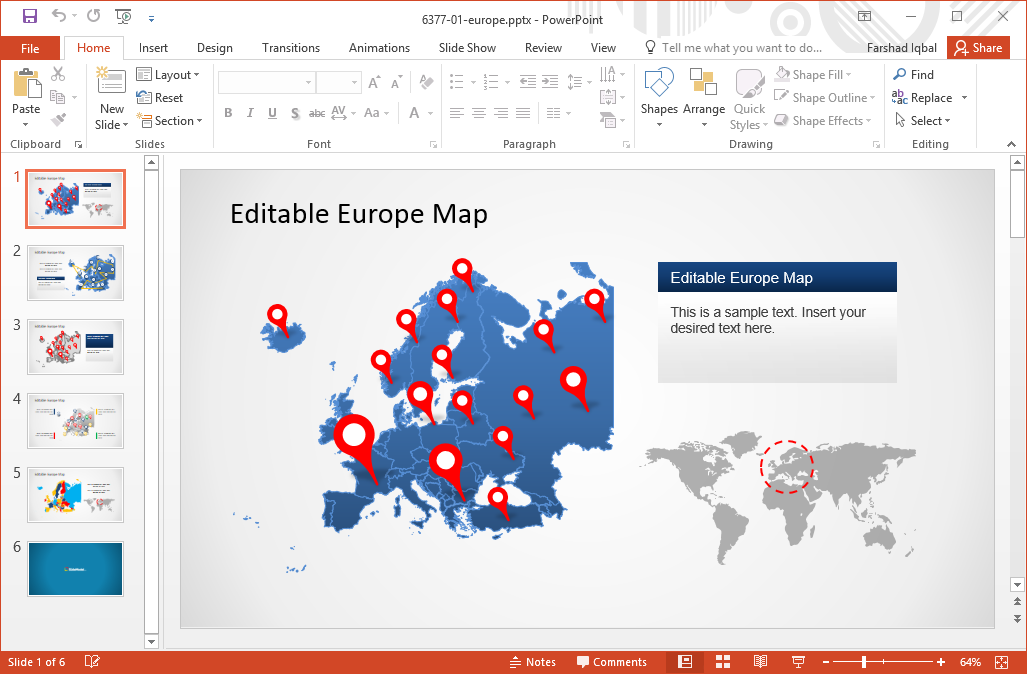
Editable Map of UK for PowerPoint
The United Kingdom has been one of the most influential countries in Europe over the centuries. It is a financial hub, a crucible of western culture and a country of immense political importance. this is why you might require using a UK map in a presentation, be it for official work, at school when discussing academic topics or when planning to reach out customers in UK. The Editable UK Map Template for PowerPoint gives editable maps for the United Kingdom with easy to customize layouts with GPS markers, customizable PowerPoint maps, UK flag clipart and more.
Go to Download Editable Map of UK for PowerPoint
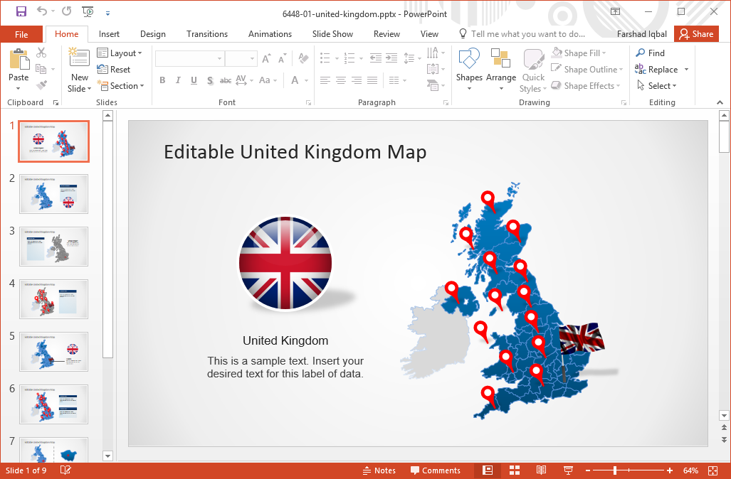
Editable Map of France for PowerPoint
Like UK, France has also been one of the most influential European countries. This PowerPoint template gives composite maps for France, from which you can separate submaps for highlighting different parts of France.
Go to Download Editable Map of France for PowerPoint
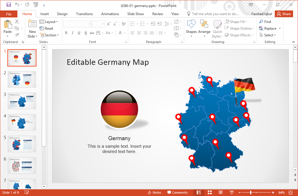
Editable Map of Germany for PowerPoint
Germany is well-known for its green energy initiatives, vibrant economy and a history of producing world class scientists. This template gives editable maps of Germany, with different parts of the country available as submaps which you can separate from the main map.
Go to Download Editable Map of Germany for PowerPoint
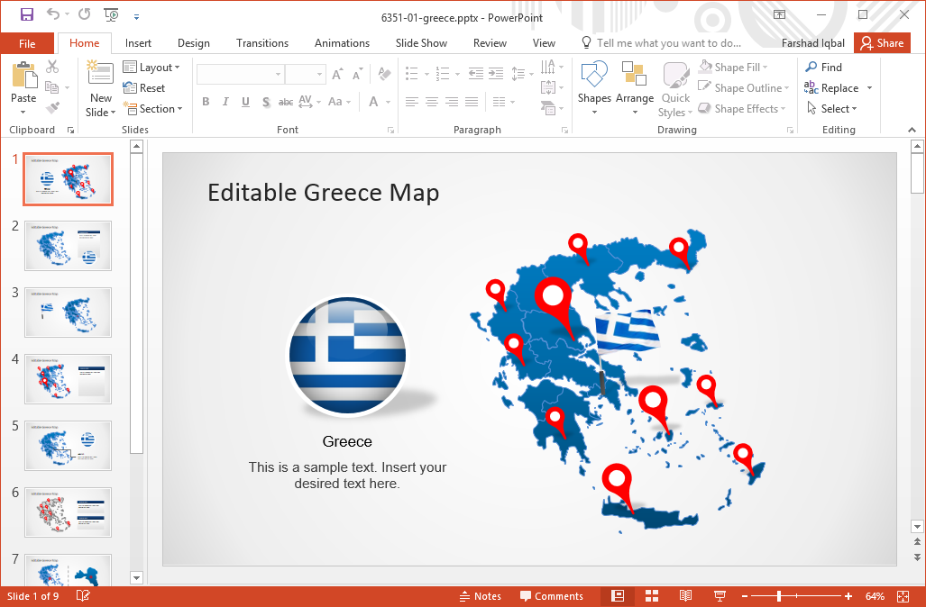
Editable Map of Greece for PowerPoint
Greece has a profound impact on modern history. Be it Aristotle, Socrates, Diogenes, or the Greco-Persian Wars, or the mythos of the Titans and Olympians, Greece is a country with a history carved in stone. This is why it is likely that many presenters might require referring to the map of Greece for a reference. this template gives all that you need for depicting parts of Greece with comprehensive, composite maps of the Greece, with the utility to edit and extract different areas to highlight them.
Go to Download Editable Map of Greece for PowerPoint
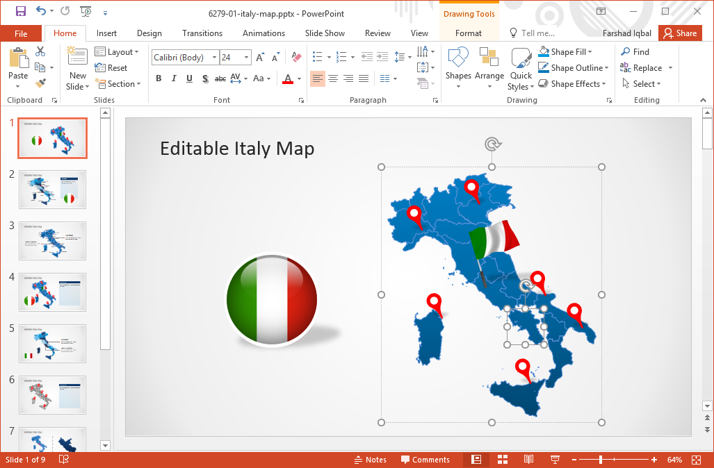
Editable Map of Italy for PowerPoint
This map template for PowerPoint provides 8 maps for Italy. These are highly customizable maps which can be easily edited to match your specific needs. This includes the option to recolor, resize, and highlight parts of the map.
Go to Download Editable Map of Italy for PowerPoint
You can download more Europe Maps for PowerPoint from the link below, including maps of various European countries and complete maps of Europe.
Learn more about Downloading Europe Maps for PowerPoint
Go to Download Europe Maps For PowerPoint