5 Best Applications for Making Geographical Maps
Last updated on November 8th, 2023
Geographical maps are created using various applications for a variety of purposes. You might need to make a geographical map for a project document, or a PowerPoint presentation, or to map a certain area for research. Of course, there are lots of editable USA maps but in some cases you might need something more specific. Below is our recommendation for the 5 best applications for making geographical maps.
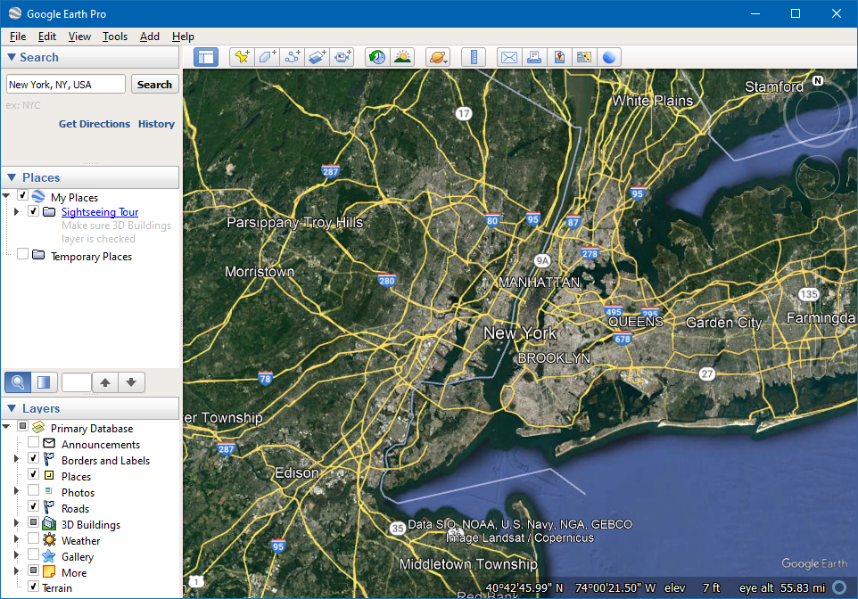
1. Google Earth Pro
When it comes to making geographical maps, one of the most comprehensive and easy-to-use applications is Google Earth Pro. The app comes with add-ons for advanced printing and movie-making. The desktop edition of the app is free and available for PC, Mac, and Linux-based operating systems.
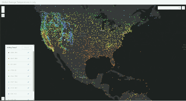
2. ArcGIS
Environmental Systems Research Institute or ESRI is a company that provides Geographic Information System (GIS) based software. The desktop GIS suite offered by ESRI is ArcGIS which is a combination of multiple integrated applications. ArcGIS includes ArcMap, ArcToolbox, ArcGlobe, ArcScene, and Arc catalog. The suite is a great resource for creating geographical maps and comes with data analysis and management capabilities.
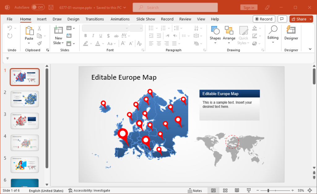
3. PowerPoint
While many people might not see PowerPoint as a major application for making maps, it can be easily used to get the job done. One method to do this to use readymade templates from service providers. SlideModel is one such website that provides readymade map templates for PowerPoint. These templates provide maps for different countries, continents, and regions, where you can edit the map by separating individual sub-maps from the main map. There are also other service providers that provide more minimalist map templates like FPPT’s map templates and SlideHunter’s geographical map templates.
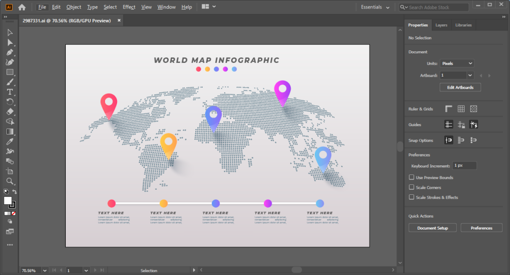
4. Adobe Illustrator
If you’re handy with design applications, Adobe Illustrator is a great resource for making maps. If you aren’t great with making maps from scratch, you can use templates and vector graphics to design geographical maps and export them in various image formats for use across websites, project documents, PowerPoint or Google Slides presentations, etc.
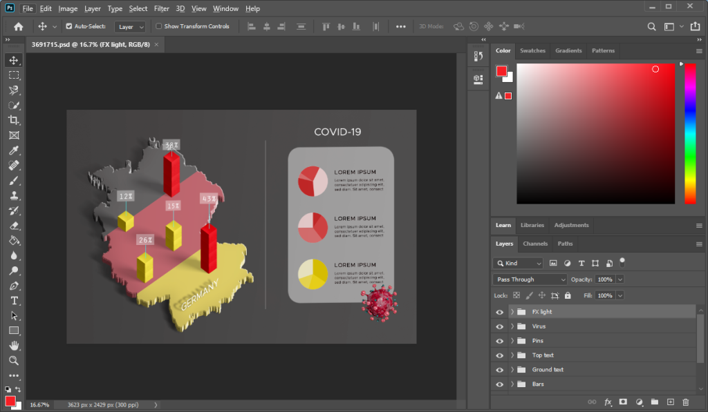
5. Adobe Photoshop
If vector graphics seem too complex, you can also use Adobe Photoshop for making geographical maps. Be it an image or a template with multiple layers constructing a map, Photoshop can be another great app for making geographical maps.
Geographical maps can be created using both simple and complex applications and methods. Some of the easiest ways to extract geographical maps is using Google Earth Pro. However, if you intend to create PowerPoint presentations, using a readymade map template might be more convenient. Other applications such as ArcGIS for geographical mapping and analysis, and design applications such as Adobe Illustrator and Adobe Photoshop present their own complexities and rich features that might suit certain end users for making and designing complex geographical maps.