Maps for PowerPoint
Sometimes we need to show maps in PowerPoint presentations and we have already commented how to embed real time Maps from Google Maps into PowerPoint presentations, but sometimes it is enough to use a map clipart in our slides. For example, if we are making a global PowerPoint template or virtual teams, it would be desirable to show a world map. Hopefully we can use open clipart maps to enhance our PowerPoint presentations. This site let you find Maps for PowerPoint or any other presentation software.

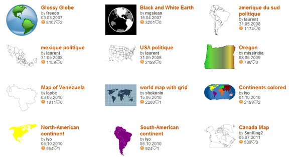
It is also possible to get some free global images for example this globe picture or clipart for PowerPoint, that is a globe with a glossy surface showing North and South America regions. The map can be editable if you use SVG editor.
Alternatively, you can download the world map PowerPoint templates from our free catalog, also compatible with Google Slides and Keynote.
Some of these maps are available as a free image download, but other are using SVG or vectors so you can edit them with an online vector editing tool like SVG vectors, or even with InkScape or Adobe Illustrator. The following clipart shows an example of Latin America map that can be used in PowerPoint presentations.

Go to OpenClipart.org
Download Premium Editable Maps for PowerPoint
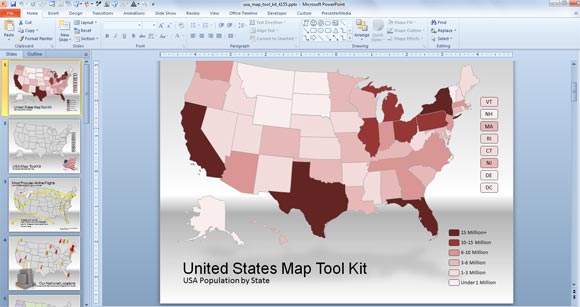
If you need editable maps for PowerPoint with a good looking and professional styles then you can consider to get a subscription on PresenterMedia and download the US map toolkit or any other map PowerPoint presentation that you can find there.